fbpx

Hiking in Sweden – The Jämtland Triangle

The Jämtland Triangle is one of the most well-known and classic trails for hiking in Sweden. It’s relatively easy to hike, traversing over the regions highest lying alpine area and surrounded by the silent peaks acting like guards. Unique alpine flora lines the trails and streams gurgle their way downhill, which adds to the all-round pleasant experience. Hikers don’t need to carry heavy, self-sustaining packs as the mountain stations cater to hikers needs, even offering three course dinners; this is hiking in Sweden, this is the Jämtland Triangle, everything hiking should be, and more.

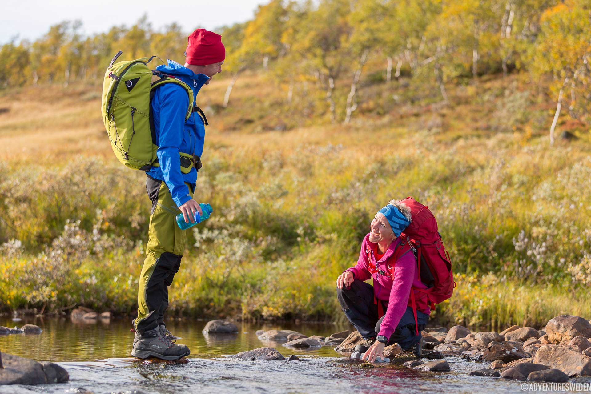
Vattenpaus under vandring vid Jämtlandstriangeln | Foto: Niclas Vestefjell
You can drink water from the clear streams along the Jämtland triangle. Photo: Niclas Vestefjell

One of the Best Trails for Hiking in Sweden

The transfer from the train station immediately provides a glimpse of what lies ahead. The surrounding mountains enclose us as the road winds its way through and the Sylarna summit occasionally peeks through along the way. The road comes to an abrupt end at the Storulvåns mountain station, where numerous routes fan out over the surrounding countryside. The station is nestled in the mountain birch forests with the open mountainous landscape, like a crown, overhead. It’s the meeting place where hikers heading out meet those returning, with relaxed expressions and a sparkle in their eyes. It’s the perfect place to load up with a crunchy waffle topped with generous servings of cloudberry jam or tuck into the generous lunch buffet.  

The start of the walk begins with a gentle climb through the birch forests, along well marked paths. The trail leads counterclockwise and heads towards the first nights goal, Blåhammaren, which lies approximately 12km away. The trail twists and meanders its way in the countryside and opens out to the plateau, a place where hikers, runner, cyclists and the gentle nomads of the mountains, the reindeer converge. The area is reindeer territory and we are visitors in their territory. It is almost a guarantee to encounter these gentle beasts in their tones of brown, gray and even white along in the mountainside. We show them respect by not trying to get close just to take a good shot. All reindeer are the property of sami companies, but they are still wild animals and need their privacy to grace and feed their calves in peace.

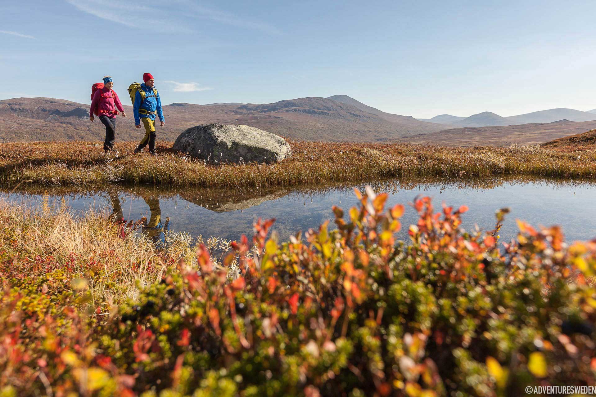
Vandrare vid sjö längs Jämtlandstriangeln | Foto: Niclas Vestefjell
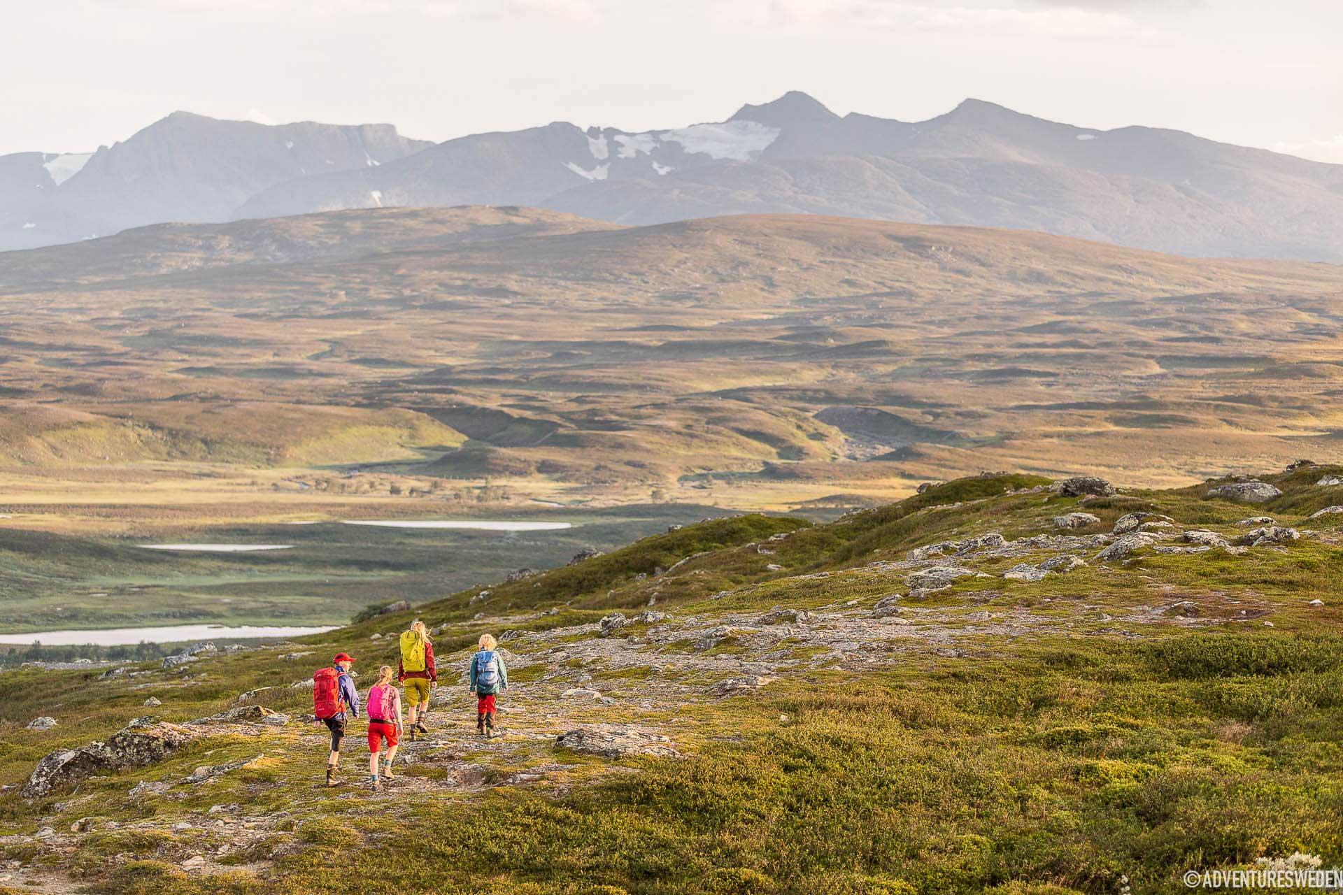
Autumn colours along the Jämtland triangle. Photo: Niclas Vestefjell

Hiking in Sweden = Gastronomic Discoveries

The halfway point on day one is a wind shelter at Ulvåtjärn, situated beside the clear waters of the Stor-Ulvån stream. It’s the perfect place to recover and take in the warmth from the sun or shelter from the wind if the weather turns foul. A hike in the Swedish mountains almost always means encounters with at least a handful of the many wild animals thriving in the serene nature. The area around the Jämtland Triangle is well known for its bird life, with regular sightings of Long-tailed Skuas, the Rough-Legged Buzzards and the majestic Golden Eagle, often seen soaring on the thermals overhead.

The Blåhammaren mountain station is the next goal on the hike. We head up a long hill, interspersed with plenty of breaks along a multitude of small brooks trickling downhill. The red Blåhammaren mountain station is the highest located STF Mountain station in Sweden, at 1,086 meters above sea level, and the reward is well worth the sweaty climb. Panoramic views, a sauna and delicious three course dinners are served in the restaurant. The meals take inspiration from local ingredients; arctic char, moose, reindeer, cloudberries and blueberries. Enjoy the evening coffee outside, taking in the red glow of the evening sun glistening off the surrounding tarns and lakes. This is everything that hiking in the Swedish mountains is meant to be, stillness, freedom, wildness.

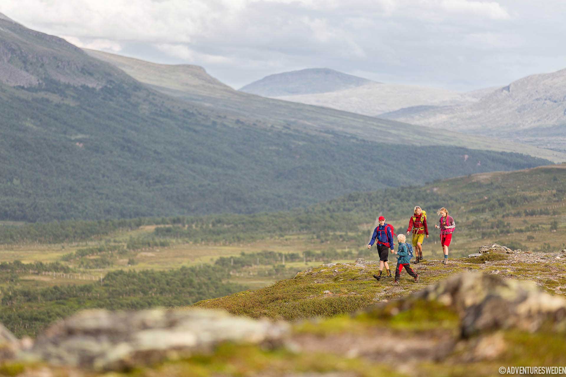
Vandrare vid Jämtlandstriangeln | Foto: Niclas Vestefjell
Magic views along the Jämtland triangle. Photo: Niclas Vestefjell

Sylarna’s Summit – 1762 metres above sea level

The next morning welcomes the lengthiest walk of the trip, starting with a long and gentle uphill over exposed and open mountainside. The views vary along the hike, from the neighbouring Norwegian mountains in the west to the vast expanse of the azure coloured Essandsjøen lake. The path from the first wind shelter at Enkälen continues to climb in altitude, towards the pointed summit of Sylarna, with its highest peak on the Norwegian side, at 1,762 metres above sea level. The summit is a majestic giant that has attracted climbers and hikers since the first STF shelter was built in 1890 and could host 8 people. The tiny hut was replaced by a mountain station called Syltoppsvillan already in 1897, could host 18 people and had a restaurant. The family who served the station kept animals to be able to provide guests with milk and fresh eggs. This mountain station was again replaced in the 1933 and the new mountain station was up to three stories high with a restaurant and a dance floor. In 1980 there was a large fire and the mountain station was rebuilt into todays station in 1983.  The station has a small boutique selling basic food items and the Spiseriet restaurant was opened in 2018 specialising in tasty stews on locally produced foods. All stews are lactose and gluten free and there is always a vegetarian alternative. There are also a choice of two saunas, one at the station and the other, a wood fired sauna, down by the Sylälven stream. A perfect way to treat your body after a day of hiking in Sweden. The darkness associated with the late summer and autumn nights in the end of August into September offer the chance to witness the stars that appear over the heavens, a magnificent backdrop silhouetted by the silent Sylarna summit.

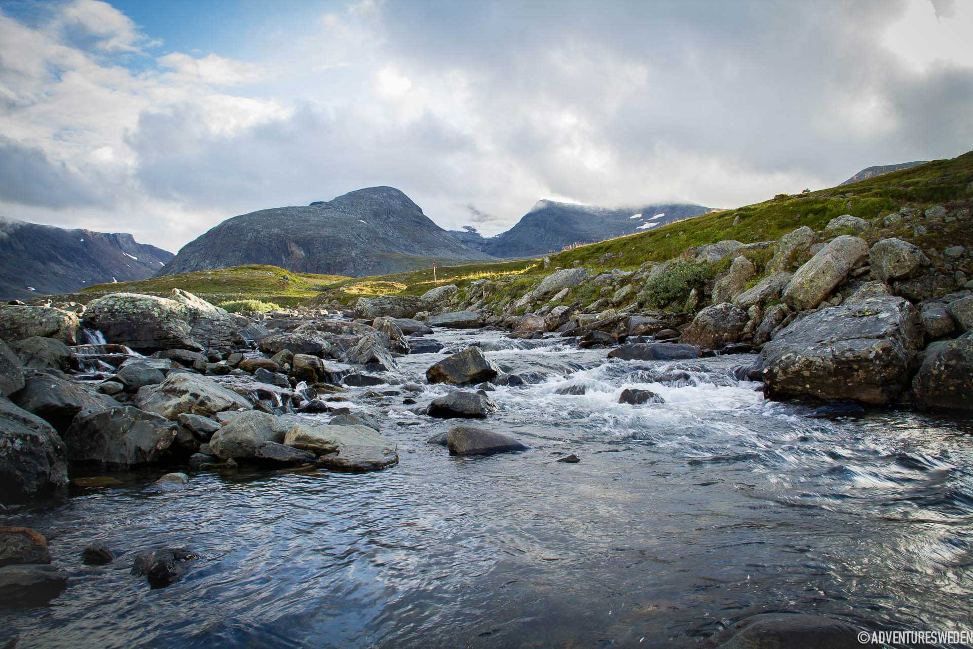
Strömmande vatten vid Sylarna, Jämtlandstriangeln | Foto: Fanny Hejdström
Sylarna | Photo: Fanny Bergman

Hiking Back to Storulvån Mountain Station

The final day of hiking begins with a descent and continues over undulating terrain. The trail offers respite from wind at shelters just 2 km from the mountain station at Gamla Sylarna and at Spåime, the later serves roughly as the halfway point. Both of them have outhouses. The well-used pathway have large parts covered with footbridges to protect the sensitive flora and continues its way past the Ulvåfjällets peaks and the Lill-Ulvån rapids that forge their way ahead. By the suspension bridge a couple of kilometers from Storulvån there is an outhouse. The 47 km triangular Swedish hiking trail, the Jämtland Triangle, finally reaches its conclusion at the Storulvån station, a place to celebrate your achievement with a good meal, a hot sauna and a plunge into the freezing waters that the Sami call gaaltije.

The Swedish hike known as the Jämtland Triangle serves as a place where many have discovered hiking or felt what it means to be one with nature. With a small bow of the head in gratitude, we thank the mountains for one of the best experiences of hiking in Sweden.

Adventures together with Strövtåg, an outdoor guide, in the western part of Jämtland Härjedalen.

HERE’S THE SKINNY

ACTIVITY

Hiking, XC-biking, Trail Running

SEASON

Summer June-September. (The mountain stations are open for nordic skiing/touring from February til April.)

SKILL LEVEL

Hiking & running: Easy-medium. XC-biking along the trail takes more skill, and since this is a popular trail – there will be people in large amounts walking/running on the same trail. 

DISTANCE

Total Length 47 km
Storulvån – Blåhammaren 12 km (4-5 hrs)
Blåhammaren – Sylarna 19 km (6-7 hrs)
Sylarna – Storulvån 16 km (5-6 hrs)

ELEVATION GAIN

Storulvån – Blåhammaren +370 m
Blåhammaren – Sylarna -50 m
Sylarna – Storulvån -320

START

STF Storulvåns Fjällstation (mountain station). The road leads all the way to the station with a large parking lot (parking fee). Train station at Duved or Enafors, with pre-booked transfer available to Storulvån. Nearest airport is Trondheim Vaernes airport in Norway, second closest is Åre Östersund airport.

MAP

Z6 Lantmäteriet
Z54 Lantmäteriet
Jämtlandsfjällen Calazo
Jämtlandstriangeln Calazo

TERRAIN

Paths, walkways/footbridges and occasionally rocky.

PACKING LIST

STF packing lists for tours into the mountains provides many great tips for numerous different hiking trails.

Gear Junkie has a perfect guide on how to pack like a pro.

WHERE TO EAT

Storulvån Mountain Station, Blåhammaren Mountain Station & Spiseriet at Sylarna mountain station.

TRAIL RUNNING

Trail running on the route is growing in popularity, whether over one day or multiple days. Check the weather beforehand and pack accordingly, with extra food and clothing and an emergency kit. This is a popular trail for hiking, always show consideration and respect to other trail users.

REINDEER HEARDING

The area belongs to the Handölsdalen Sami village and serves as a reindeer grazing area, there is a good chance of meeting reindeer in the mountains. Show consideration to the reindeer and herders by keeping a distance and keep your dogs on a leash.

ARE WE MISSING SOMETHING?

Suggest an edit

Vandrare vid Jämtlandstriangeln | Foto: Niclas Vestefjell
The views along the hike are absolutely stunning | Photo: Niclas Vestefjell

Add an Extra Day of Hiking in Sweden

  1. Ascend Syltoppens summit, weather pending. STF offers guided tours.
  2. Take a day trip of hiking from Sylarnas mountain station to the magical valley, Tempeldalen.
  3. Take a guided tour hiking through the floral kingdom up the mountain Getryggen not far from Storulvåns mountain station.
  4. Take a day trip of hiking from Storulvåns mountain station to the Bunnerfjällen mountains.
Skip to content