fbpx

Road biking in Adventure Sweden – Jämtland Härjedalen

The region Jämtland Härjedalen in Sweden is mostly known for it’s mountain biking and there are plenty of well built sustainable biking trails. But Jämtland Härjedalen is also the arena for another type of biking tourism, road biking. The Wilderness Road (Vildmarksvägen) is one example, with beautiful scenery, best experienced from a bike.

In this article the focus will be on the cycling between Gäddede and Saxnäs. The distance is 139 km and makes a good choice for a bike weekend. A part of this road meanders up on the mountain with mile-wide views. However, the start of the suggested trip will be in Strömsund and the end will be in Vilhelmina to make transport and logistics easier.

The Inland Railway Inlandsbanan
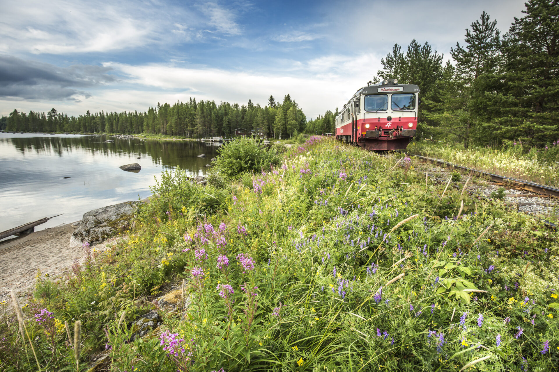
A pleasant train journey with The Inland Railway - Inlandsbanan, can be the start of your biking adventure. Photo: Håkan Wike

Vildmarksvägen – Biking on the Swedish Norwegian boarder

Vildmarksvägen (The Wilderness Road) is a roundtrip which you can start in Strömsund, go west to Gäddede and over the mountain plateau Stekenjokk to go east again towards Vilhelmina, and finish off where you started southwards in Strömsund, or do it all the other way around. The experienced Wilderness road travellers all have made it both ways. The whole route is 500 km long but it’s possible to start and finish in various places and thereby shorten the trip. In this article the focus will be on the road between Gäddede and Saxnäs. The distance is 139 km and makes a good choice for a bike weekend. A part of this road meanders up on the mountain with mile-wide views. However, the start of the suggested trip will be in Strömsund and the end will be in Vilhelmina to make transport and logistics easier.

To get to the Wilderness road bringing your bike to start at one point and end at another, The Inlandsbanan railway is a great alternative. The train is an experience in itself where the pace is slower and the journey is as much a part of the experience as the destination. The train starts in Östersund in the morning and your stop will be in Ulriksfors (the nearest station for Strömsund), two hours later. The road from Ulriksfors to Strömsund is completed with a bike lane and the distance is just 4 km. From Strömsund it’s possible to either bike to Gäddede, the distance is 140 km, or to take the bus. The bus departs a couple of times per day and takes two hours. At the end of the bike trip in Saxnäs there is a bus that goes to Vilhelmina where the Inlandsbanan rail either can take you back to Östersund or you can hop on to go further north in Sweden towards Gällivare. The bus from Saxnäs takes between two and two and a half hours, and the Inland Railway train (which is an experience in itself) takes just over two and a half hours back to Östersund.

Ankarede Church town. Photo: Lotta Falk
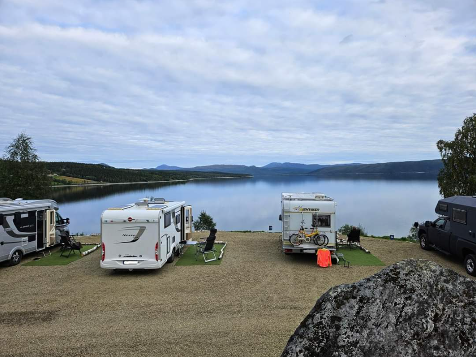
Camp Stora Blåsjön - Wilderness Road
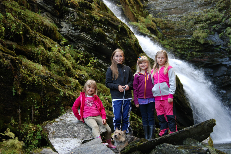
Adventurous children. Photo: Lotta Falk
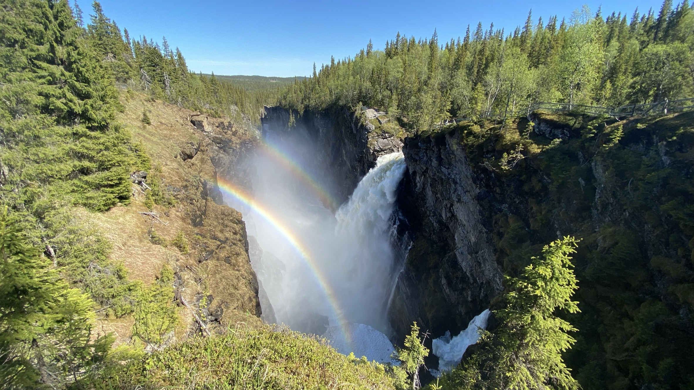
Hällingsåfallet Andreas Magnusson
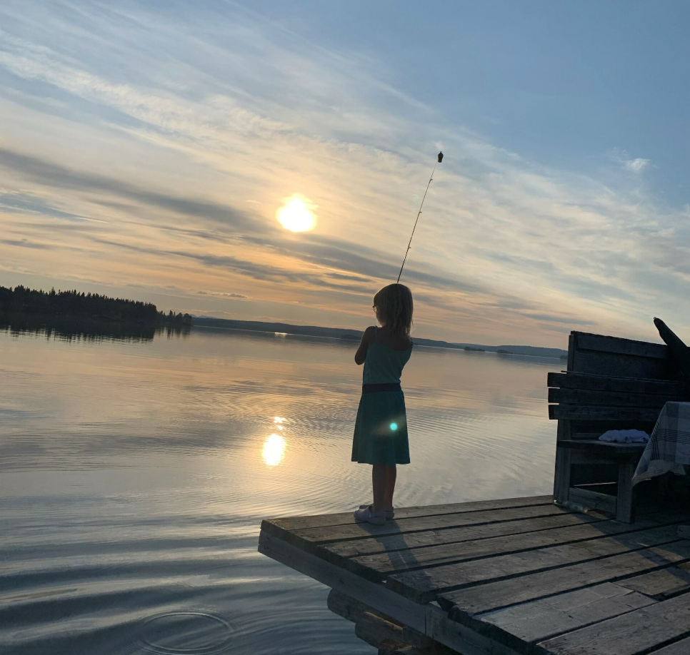
Fishing Wilderness Road. Photo: Tomas Baudin
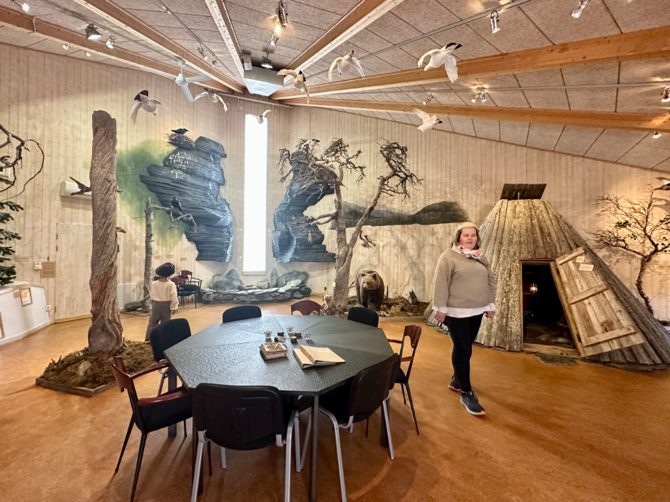
Visit Frostviken's information to gain knowledge about nature and culture
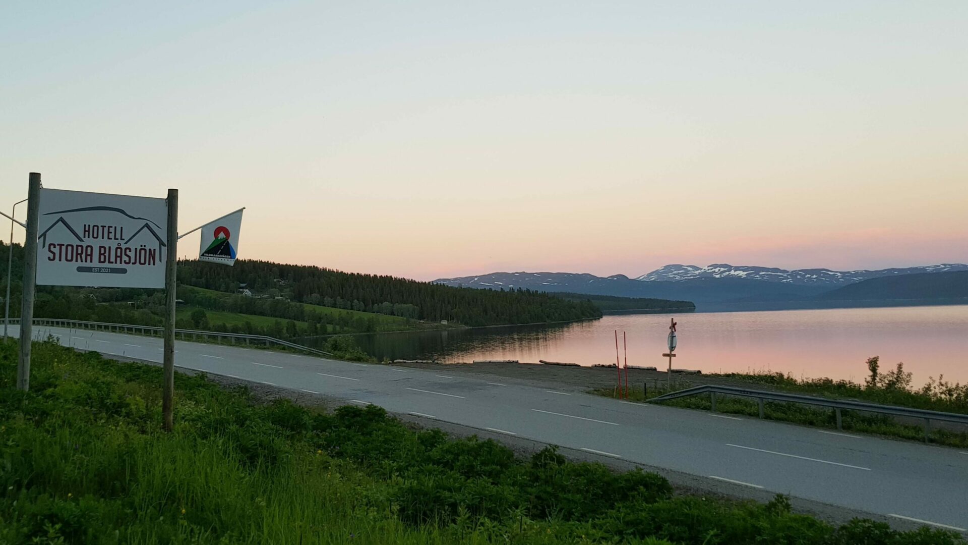
Evening light in Stora Blåsjön Wilderness road
Evening light in Stora Blåsjön by the Wilderness road. Photo: Lotta Falk

From Gäddede to Stora Blåsjön – Waterfalls and a church town

The bike journey starts in Gäddede and the first day is 65 km long. Take time to visit the local nature and culture exhibit by the Tourist Information to get an introduction to the Frostviken Mountains. Also stock up at the local grocery store. The road from Gäddede meanders its way along the lakes called Kycklingvattnet and Jormvattnet. The surrounding area offers views over rolling hills and mixed forest. It’s a 30 km journey to Jormvattnet where a packed lunch probably will fit nicely. An alternative is to pop by Jormvattnet Fishing Camp with a small café and shop. There aren’t many places to buy food outside of the larger villages so make sure to proviant when possible. General stores are available in Strömsund, Gäddede, Stora Blåsjön, Klimpfjäll, Saxnäs, Stalon and Vilhelmina and in addition there are local food artisans along the way selling Swedish fika, cheese and charcuteries.

From Jormvattnet the journey to Ankarede through Stora Blåsjön is 25 km. Along the road you pass near Brakkåfallet, a beautiful waterfall from the Swedish movie Dunderklumpen. After a nice swim (or just a nice view depending on the temperature) the pedaling goes on to Ankarede. Ankarede is the only preserved sami church town in Jämtland Härjedalen, a place for Sami people to meet up and hold larger gatherings like for weddings and baptisms. Church towns are a unique phenomenon in the north of Sweden. They arose when the Swedish state wanted to Christianize the Sami people and was a place where they would gather during church holidays. In Ankarede there is a café during the summer months where an afternoon fika would sit nicely. Try their specially made bread called “Klining”, it is a thin leavened bread produced with the greatest care in a long process and served with cheese on top. This bread is a specialty from the area and was first noted in writing by the end of the 19th century. People going to Ankarede would bake the Klining at home and bring it to Ankarede for church holidays in special triangular cases with a lid. There is also a small Sami museum in Ankarede and hiking trails, for example to the waterfall Lejarfallet.

After Ankarede the bike tour goes back to Stora Blåsjön where there are several cabins to rent, a hotel and campsites to stay in for the night. It’s also close to several hiking trails, some great fishing spots and other outdoor activities. Stock up at the local grocery store in Stora Blåsjön.

Examples of accomodation in Stora Blåsjön

Hotell Stora Blåsjön

Blåsjöns fjällcamp

Camp Stora Blåsjön

Blåsjöns fjällby

Lia Ranch, Ankarvattnet

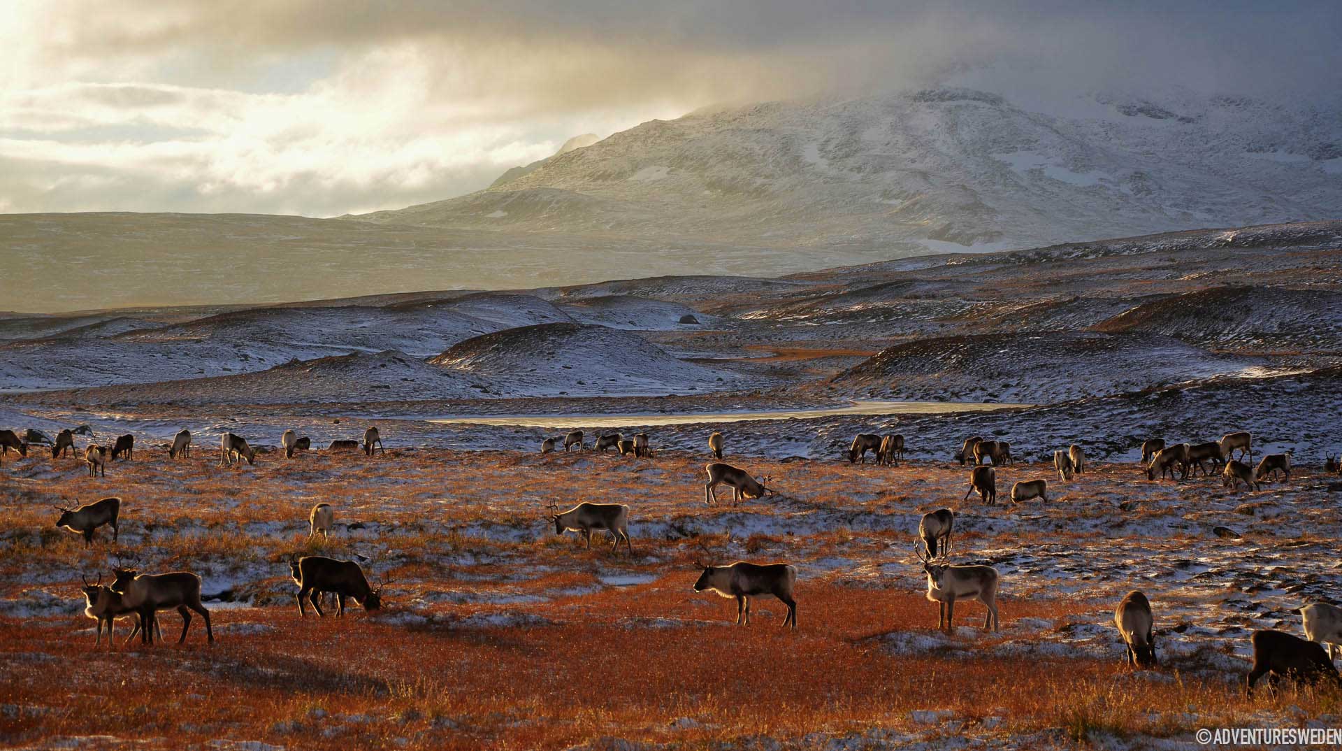
Renar längs Vildmarksvägen | Foto: Madeleine Aaras
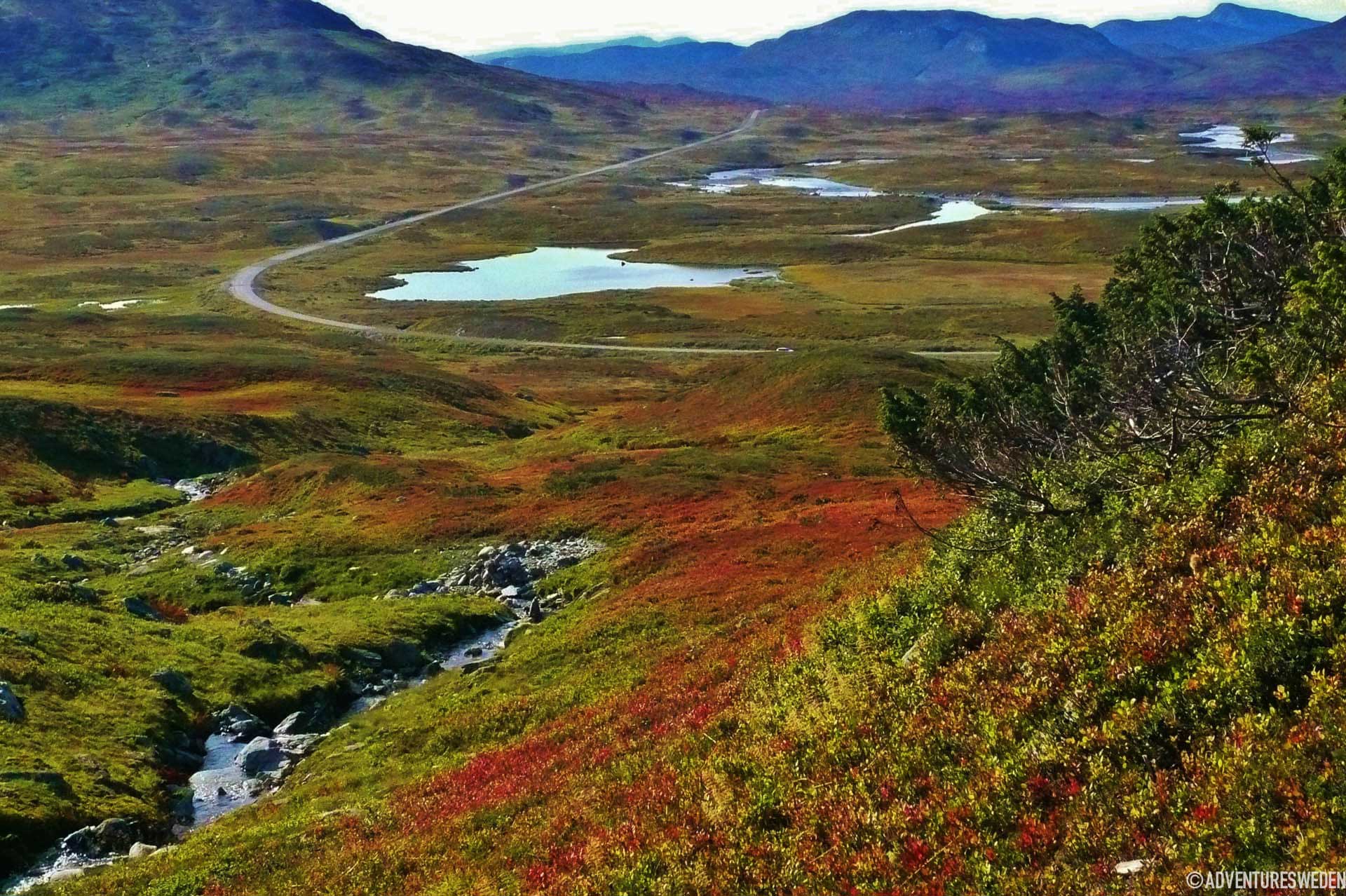
Vildmarksvägen| Foto: Madeleine Aaraas
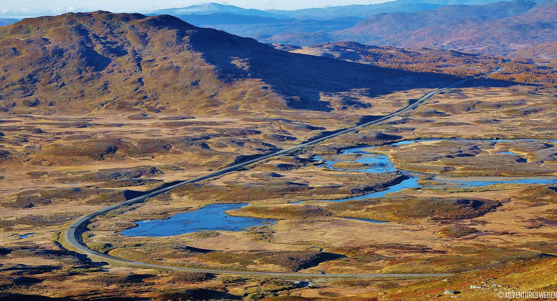
Vildmarksvägen| Foto: Madeleine Aaras

Stora Blåsjön to Klimpfjäll – ride over the Stekenjokk mountain plateau

Day two starts in Stora Blåsjön and ends in Klimpfjäll. It’s a 65 km day on the bike and you will pass through several beautiful sites. There are no places to buy lunch so bring a packed one and take breaks when the moment and place is right.

You may want to plan a break at Korallgrottan, which is the longest cave in Sweden. It can be experienced with a guide through Korpens öga. The second alternative for a longer break is Bjurälvens nature reserve which is a special place to experience a unique natural phenomenon when the river goes under ground to later pop up further down the valley thanks to the character of the local bedrock. The third opportunity for a break is by Gaustafallet, the third waterfall on this bike trip. Gaustafallet is right by the road so it is easy to stop by.

After Gaustafallet the road is steeper towards the Stekenjokk mountain plateau which covers the most beautiful part of the entire bike trip. It might burn a bit in the legs since the road rises about 400 meters up to 876 meters above sea level. On the plateau there are regulations regarding where to bike, walk and also stop if you go by car. Make sure to check those in advance since they vary depending on season. The road down to Klimpfjäll from the Stekenjokk plateau is enjoyable easy downhill with more stunning views over mountains and lakes.

The photos in the gallery are shot by Madeleine Aaraas by the Stekenjokk mountain plateau.

Klimpfjäll is a small mountain village with trails for hiking and in winter there is a ski area. The Norgefarargården (Norway-bound-farm) is a farm from when people travelled through with horse and sled to go to Norway for trade and also the first ever built larger building in the area. If you want to stay a little longer, try one of the hiking trails like Trollstigen (the Troll path), a trail that passes beautiful waterfalls. In Klimpfjäll there are some alternatives for a stay. We give you an example of two hotels and one campsite.

Examples of accommodation in Klimpfjäll

Kilmpfjällsgården, hotel

Hotell Klimpfjäll

Klimpfjällscampingen


Saxnäs
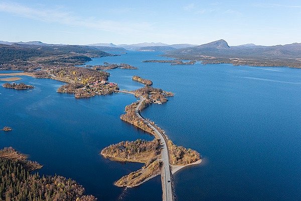
Saxnäs seen from above. The village is partly on islands connected by the main road.

Klimpfjäll to Saxnäs – Follow the stream

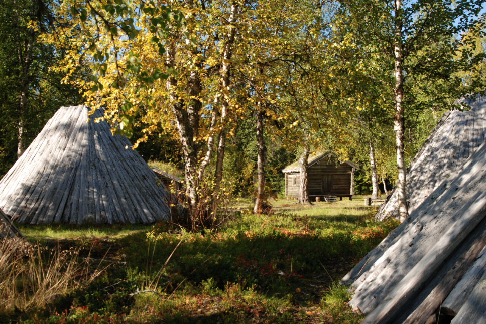
The last day of the journey will be between Klimpfjäll and Saxsnäs with a detour to Fatmomakke. Including the detour, the trip is 45 km.  Most of the road meanders along the lake Kultsjön with views over the surrounding mountain landscape. The detour to Fatmomakke is well worth it, it’s a church town of different characteristics than Ankarede. There are cottages, sami tipi-like buildings made from wood and peat, and a church that is very well preserved. The oldest buildings are from the 18th century and the area is a protected as a cultural reserve. It’s a perfect place for lunch since there is a café open from midsummer to the end of august. From Fatmomakke it’s 25 km to Saxnäs where the trip ends. Saxnäs is another beautiful mountain village where there is a museum – Ricklundgården, an artist home preserved and where there are organized art workshops. There is a hunting and fishing camp if you would like to join for a couple of days and several trails to hike. Book a nice meal for example at Saxnäsgården to celebrate the end of a beautiful bike trip. Don´t miss a visit to Trappstegsforsen just outside Saxnäs. It is a waterfall running down stairlike formations of rocks.

Examples of accomodations in Saxnäs

Marsfjäll mountain lodge

Saxnäsgården

Kultsjögården

Skip to content