HERE’S THE SKINNY
ACTIVITY
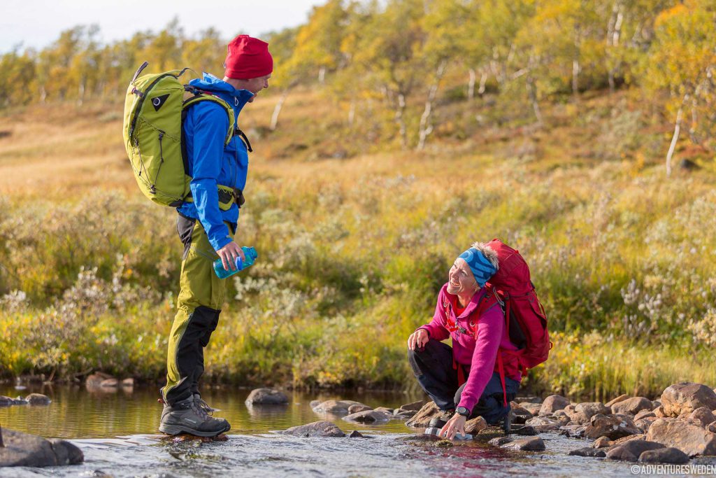
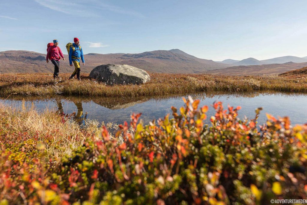
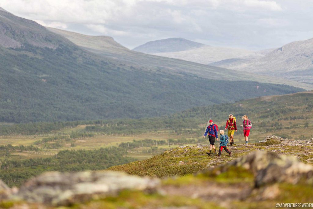
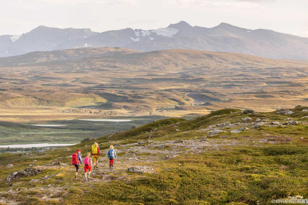
Hiking
SEASON
Summer:
Storulvån is open from around the third week of June til the first week of October. Blåhammaren is open from July til the first week of October. Sylarna is open from mid July til the first week of October. Always check the opening dates with the Swedish Tourism Association.
(The mountain stations are open for nordic skiing/touring from February til April.)
SKILL LEVEL
Hiking: Easy-medium.
DISTANCE
Total Length 47 km
Storulvån – Blåhammaren 12 km (4-5 hrs)
Blåhammaren – Sylarna 19 km (6-7 hrs)
Sylarna – Storulvån 16 km (5-6 hrs)
ELEVATION GAIN
Storulvån – Blåhammaren +370 m
Blåhammaren – Sylarna -50 m
Sylarna – Storulvån -320
START
By car: STF Storulvåns Fjällstation (mountain station). The road leads all the way to the station with a large parking lot (parking fee).
By train: Choose the train station at Duved or Enafors, with pre-booked transfer available to Storulvån. Nearest airport is Trondheim Vaernes airport in Norway, second closest is Åre Östersund airport in Östersund, Sweden.
MAP
Z6 Lantmäteriet
Z54 Lantmäteriet
Jämtlandsfjällen Calazo
Jämtlandstriangeln Calazo
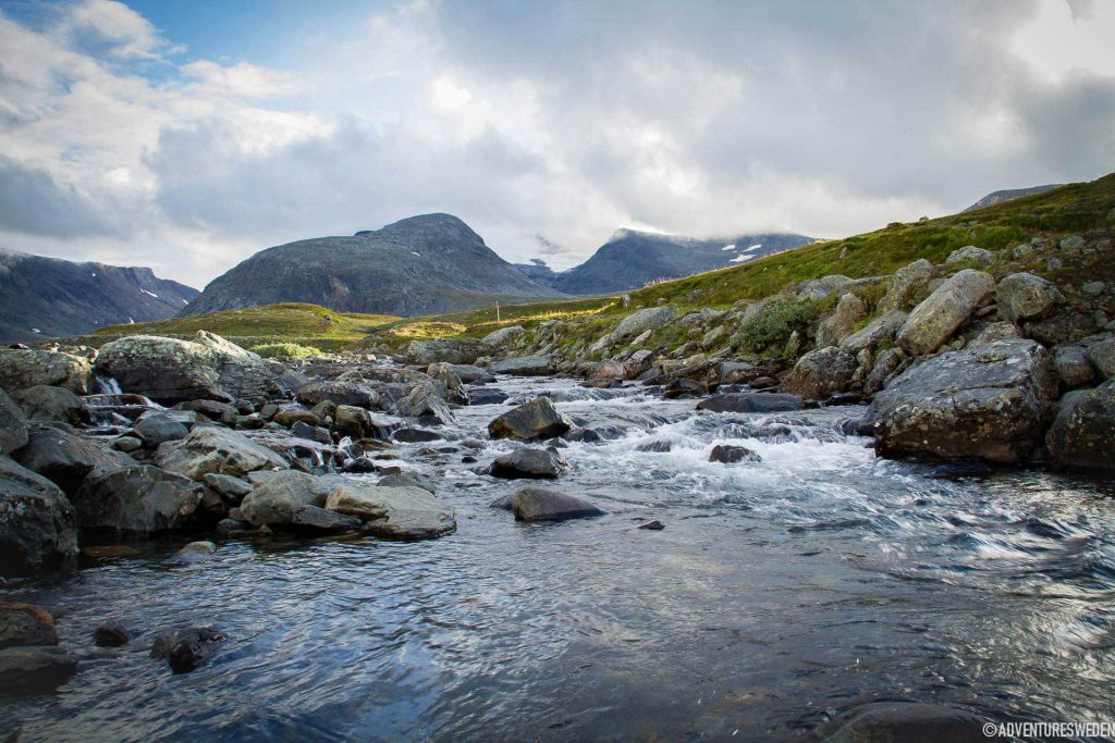
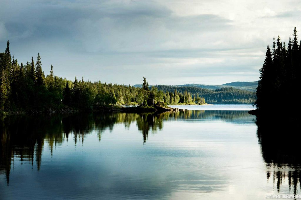
TERRAIN
Paths, walkways/footbridges and occasionally rocky.
PACKING LIST
STF packing lists for tours into the mountains provides many great tips for numerous different hiking trails.
Gear Junkie has a perfect guide on how to pack like a pro.
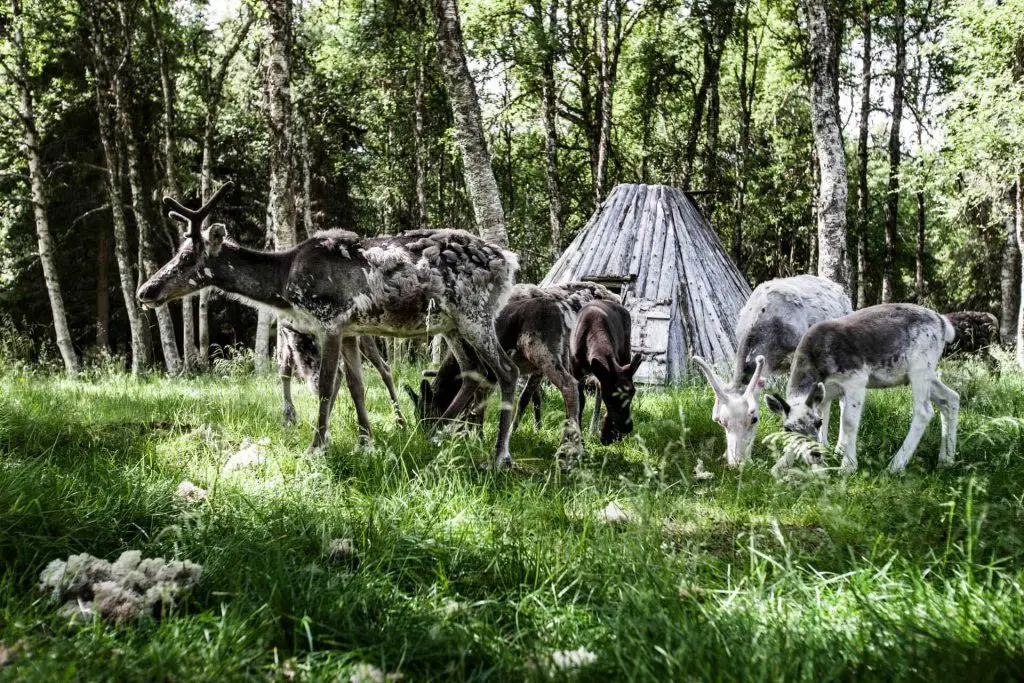
REINDEER HEARDING
The area is used by the Handölsdalen Sami village and serves as a reindeer grazing area, there is a good chance of meeting reindeer in the mountains. Show consideration to the reindeer and herders by keeping a distance and always keep your dogs on a leash.
JOIN A LOCAL GUIDE
The area has several guides who offer wilderness excursions such as hiking, fishing, birdwatching with stories on local flora, fauna and culture, on the Jämtland triangle and in the area.
Hire your own STF guide or join a group
Go with Strövtåg – the small and local tour company operating in the mountains of the border of Sweden and Norway.
ARE WE MISSING SOMETHING?
Suggest an edit