
The hiking trails in this article meet basic quality criteria based on the National Framework for Hiking Trails and are on land where the state is not the principal. These hiking trails are a first selection of the hiking trails in the county’s eight municipalities, five destinations and five pilgrimage trails.
Text: Andreas Edholm, Senior Tourism Developer
östersund municipality: Bynäset runt on Frösön
- Length: 7 km round trip
- Elevation gain: 49 m
- Start: Big parking place
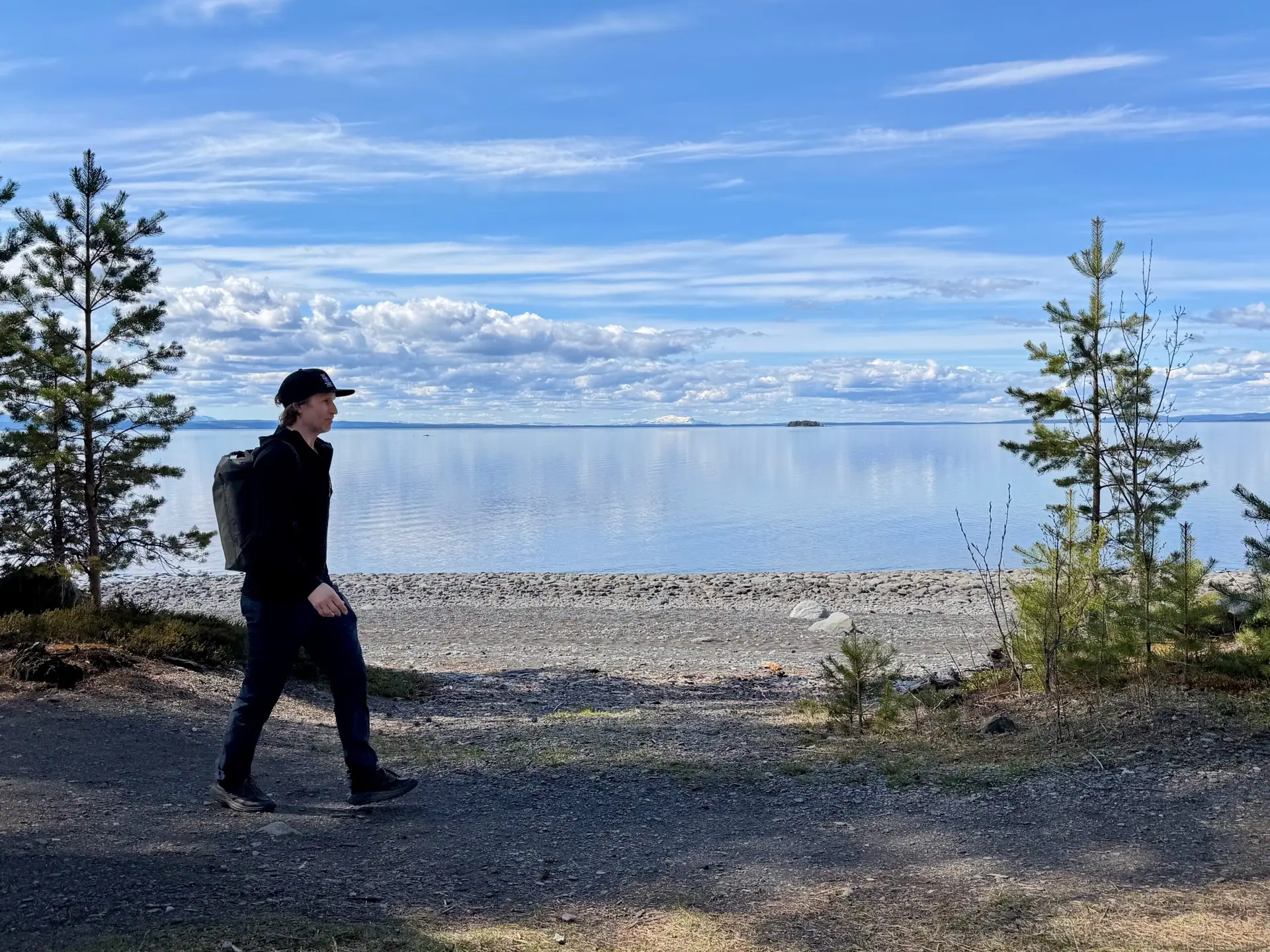
At beautiful Bynäset on Frösön you can walk around a distance of about 7 km, run, cycle and swim. Feel free to bring a backpack and walk around the scenic spot. When you feel warm, you can walk to the beach and take a swim. The trail mostly runs close to the water with very beautiful views of the lake and the mountains. The southern end of the trail is accessible with a gravel path about 2 km long that leads to a rest area with benches and tables by the beach. The northern part begins with about 600 meters of gravel road that leads to Bynäset’s wind shelter (sleeping) with benches and a view of Storsjön and the mountains. The rest of the trail is a forest path where there are a lot of roots in some parts.
There are three different tours on Bynäset: Bynäset runt (green) is 7 km and winds through a varied forest environment along the shores of Storsjön. The trail mostly runs close to the water with very beautiful views of the lake and the mountains.
The Bynäset shortcut (yellow), turns off from Bynäset around and goes along a fence over the islet. The trail is about 2.4 km long and goes on a gravel road, along a path and on a footbridge.
Easy hiking trail (red). The southern end of the Bynäset trail is accessible with an approximately 2 kilometer long gravel path that leads to a rest area with benches and tables by the beach.
östersund: Toppstigen on Östberget
- Length: 4,8 km round trip
- Elevation gain: 185 m
- Start: Different entrances
The trail goes around the top of Östberget but is possible to connect from several “entrances” around the mountain. The trail passes nice viewpoints, barbecue areas, cold spring, windbreak and Frösötornet.
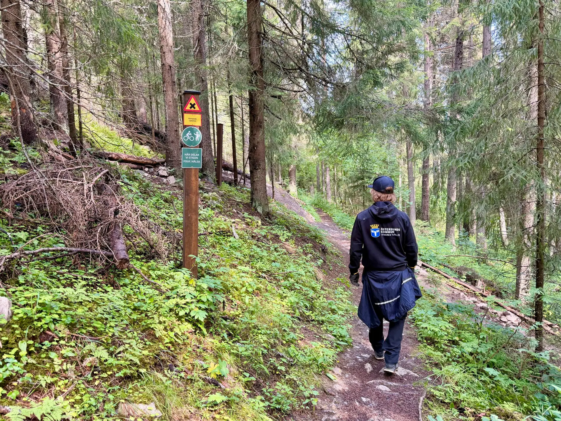
A challenging trail that is steep in parts with a total ascent of 185 meters. The surface is path, steep stairs, footbridge, forest road and rock. Parts of the trail have a lot of roots and wet areas may occur. Partly shares the route with Östbergets Natur- och kulturstig.
Östersund’s obvious landmark Östberget on Frösön stretches 178 meters above Sweden’s fifth largest lake, Storsjön, and 468 meters above sea level. Since the end of the 19th century, tourism and recreation have been of great importance, with observation towers and ski slopes. In winter, Östberget with its illuminated ski slope is a well-known and appreciated feature of Östersund’s cityscape. Östberget continues to be an important place for winter sports and recreation, offering something for everyone all year round, whether you are looking for adventure or relaxation. Come up and experience the miles-long, beautiful view.
Ragunda municipality: kullstabergsleden in Hammarstrand
- Length: 7,6 km roundtrip
- Elevation gain: 240 m
- Start: Kullstabacken parking lot
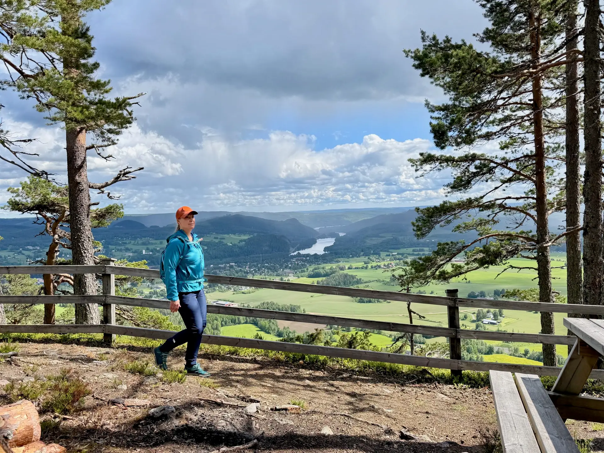
Follow the ridge of Kullstaberget and enjoy beautiful views and don’t miss Hammarstrand’s own “Hollywood sign”!
The trail starts at the foot of the slalom slope (blue marking) and takes you up to Kullstaberget, via the toboggan run, on a nice gravel road. At the top of the mountain, you then follow a path right along the edge of the mountain where you can enjoy the beautiful view down over Hammarstrand and the valley. There is a nice rest cabin on the edge of the mountain about a kilometer from the top, with a fireplace.
The path then winds on towards Europe’s largest place name sign, the Hammarstrand sign! It is 68 meters long and has 8 meter high letters! Maybe you immortalize yourself next to the sign in traditional Hollywood style?! There is also a shelter and fireplace here. The view over the countryside is fantastic! The trail then continues down the mountain. It can be quite steep in some parts. Then the trail goes through the village of Kullsta back towards the slalom slope. Of course, it is possible to walk the trail in both directions.
Bräcke municipality: Forsaleden
- Length: 7 km oneway
- Elevation gain: 51 m
- Start: Northern or southern parking
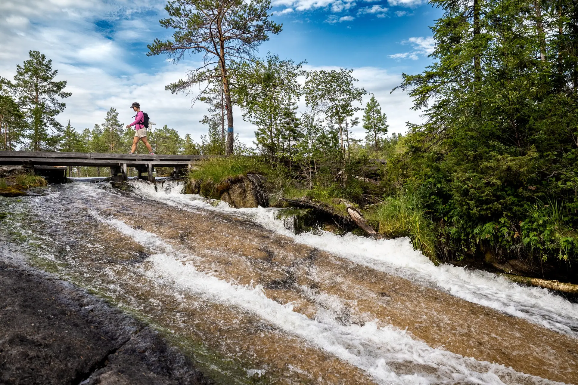
Forsaleden is a scenic trail that follows the Forsaån river along cliff faces, over bridges, and wooden walkways. Along the way, you’ll encounter waterfalls, streams, pools and ponds. There are many rare plant species due to the calcareous bedrock, and the water appears a beautiful greenish hue in several places thanks to high mineral content.
The trail also features many lovely swimming spots and rest areas. There are cultural remains along the trail, including rock paintings from the stone age and an Iron Age grave. Please note that there is flowing water in several places and it is not suitable for swimming there. Also take into account that it is a fishing conservation area and fishing along the trail.
Forsaleden has become a very popular trail. A lot of volunteer work has also contributed to raising the quality of the trail, so please feel free to make a contribution to maintenance and care when you visit the trail.
The Pilgrim Trail Jämt-Norgevägen crosses Forsaleden.
Pilgrim route: St. Olavsleden
- Length: Total 580 km oneway
- Start: Selånger
- Finish: Trondheim
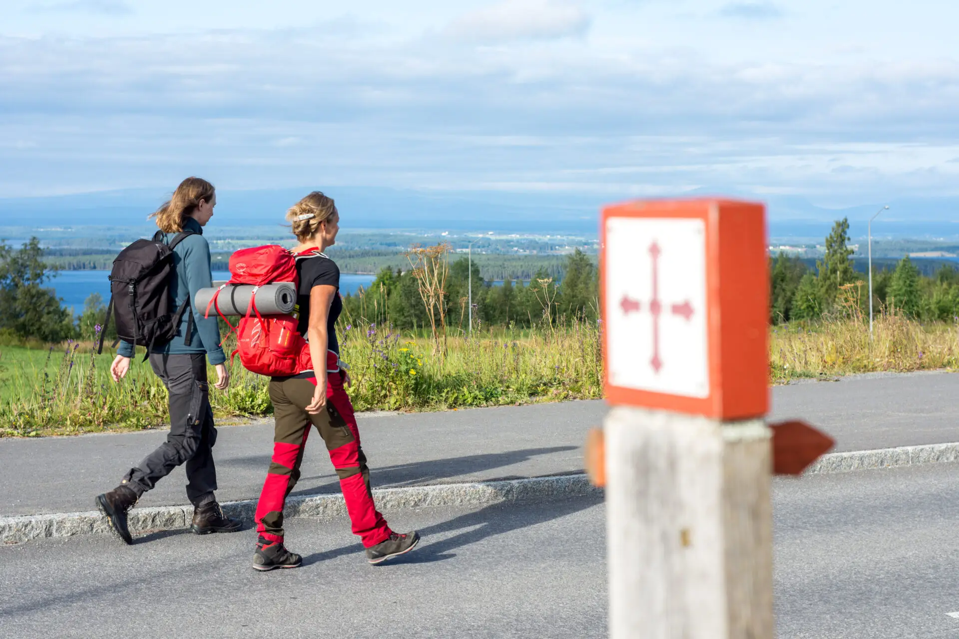
St. Olavsleden is the northernmost pilgrim trail in the world. The trail is approximately 580 kilometers long and extends from the Baltic Sea in the East to the Atlantic Ocean in the West, from Selånger in Sweden to Trondheim in Norway. The trail goes through large forests, over mountains, along lakes and past communities and historic sites. The roadbed varies from gravel road, asphalt, and trails. St. Olavsleden is the Scandinavian equivalent to the El Camino de Santiago de Compostela, the famous pilgrim route to Spain.
The story of Olav Haraldsson – is based on fables and tales but also a few credible sources. Somewhere around the years 1230 – 1240, the Icelandic historian and author Snorri Sturluson wrote the Tales of the Nordic Kings, and one of the books is called “The tale of Olav the holy”, written 200 years after the death of Olav Haraldsson. The St. Olavsleden trail enters Jämtland Härjedalen in Gällö in Bräcke municipality and then continues to the border in Åre municipality. The pilgrim trails to Trondheim are expected to attract more hikers in the coming years leading up to 2030 when it will be 1,000 years since St. Olav died in the Battle of Stiklestad year 1030.
Åre municipality: Blomsterstigen in Storlien
- Length: 6 km roundtrip
- Elevation: 250 m
- Start: Storlien högfjällshotell
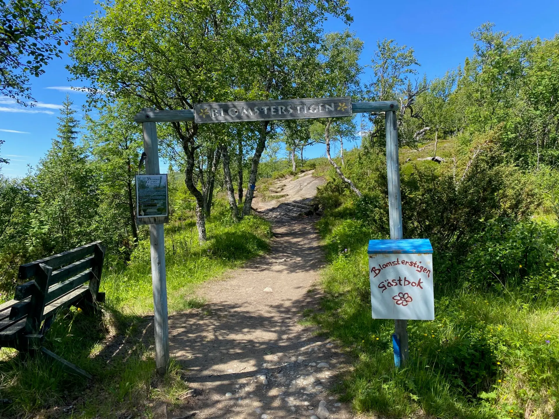
Blomsterstigen is probably the oldest hiking trail in the Swedish mountains, dating back to the late 1800s when it was first used for health and recreation. Dr. Westerlund, known as the “miracle doctor,” believed it was healthy to be above a certain altitude, to get exercise, feel meaningful and being social with other people, and Storlien could provide all that.
Dr. Westerlund’s patients came to Storlien to breathe the mountain air and walk on Blomsterstigen. In reality, the so- called “air guests” weren’t very sick; they were wealthy people from the cities who didn’t need to work for their food. Regardless, it marked the start of hiking tourism, for which we should be grateful today. With the introduction of the right of public access and statutory vacation (1938), it became possible for “ordinary” people from the cities to experience the Swedish mountains.
Blomsterstigen is an easy mountain hike around mount Skurdalshöjden with panoramic views in all directions from Vindarnas Tempel (Tempel of winds) at the summit. A final bonus tip is to make an additional hike to Brudslöjan (a waterfall on the Norwegian border).
Pilgrim Route: Jämt-Norgevägen
- Length: 250 km (480 km) oneway
- Elevation: 4 500 m
- Start: Jämtkrogen
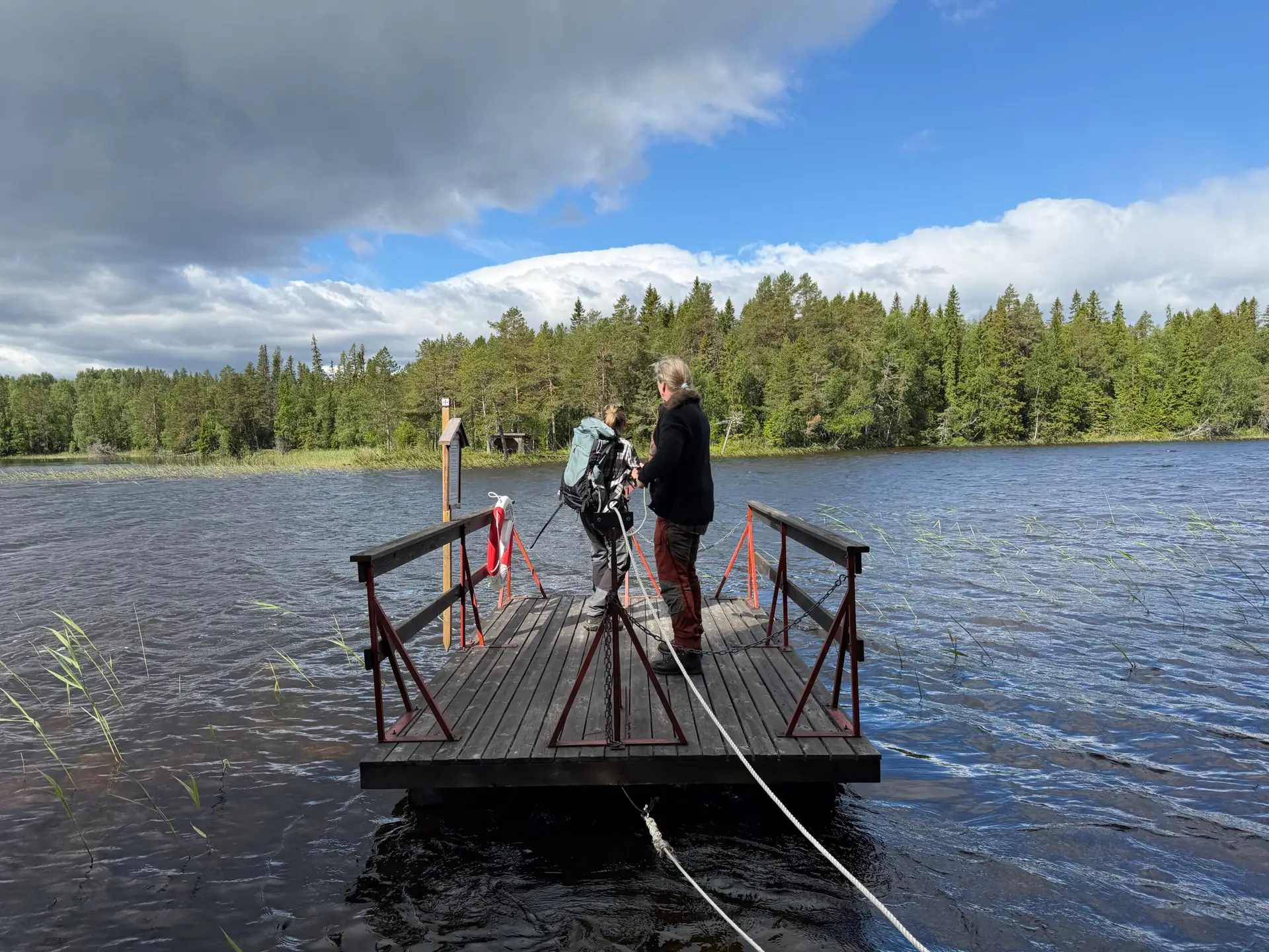
The Fäbod Route: The trail then continues via Hackås Church, over to the Oviksbygden area and on towards Ljungdalen. This section is strongly characterized by a beautiful fäbod landscape.
The mountain world: From Ljungdalen, the hike continues up into the alpine mountain world. The trail passes the bare mountain between Helags and Fältjägarstugan, rounds Lake Sylsjön and connects to the Romboleden before finally crossing the Norwegian border on its way to Trondheim.
Vemdalen: Victorialeden
- Length: 10 km roundtrip
- Elevation: 315 m
- Start: Vemdalsskalet spårcentral
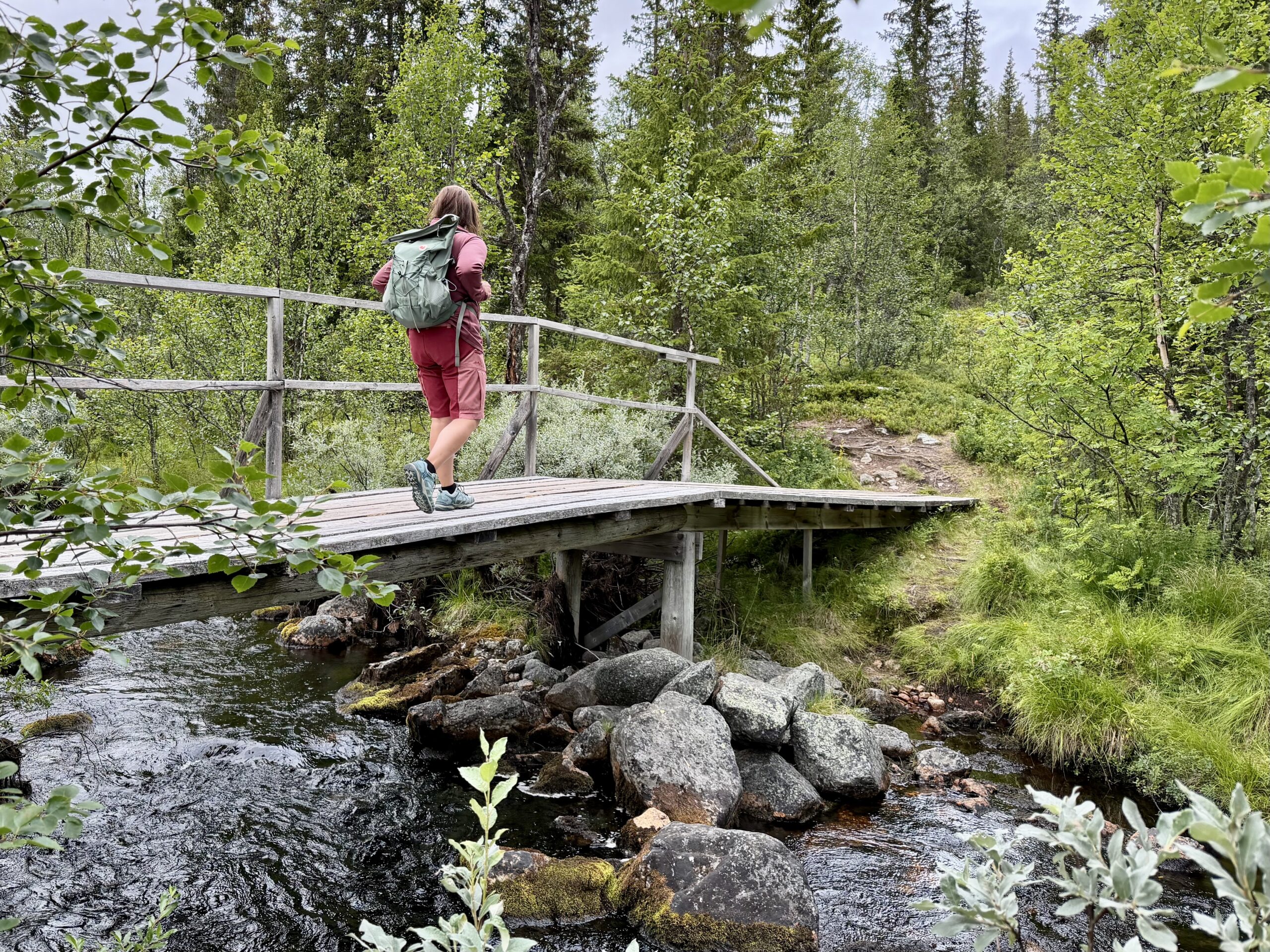
A varied hike through both forest and open mountain terrain, with the Fallmoran Falls serving as the highlight of the trip.
The hike begins at the trailhead hub at Vemdalsskalet. Walk along Karins väg near the entrance to the parking area. Follow the signs and markers toward Jaktstugan, a lodge known for its waffles (check vemdalen.se for opening hours). Just before reaching Jaktstugan, the Victorialeden branches off to the right toward Fallmoran. Down in the valley, a bridge takes you across the Röjan stream; a short distance further up, a sign points right, leading down to the waterfalls.
There are two impressive waterfalls; the lower one features a barbecue area and a spot for swimming. Follow the stream downstream and look for signs pointing toward the Ripfjäll area. Turn right onto Karl XI:s väg and follow the summer hiking trail back to Vemdalsskalet. When you reach the cross-country ski track, follow it to the right—in the direction of travel—to return to the trailhead hub.
You might be wondering why the trail is named Victorialeden? The trail is named after the Crown Princess, who skied this route during her tour of the Swedish provinces in Härjedalen in 2019.
Lofsdalen: sömlingshågna
- Leng: xx
- Elevation: xx m
- Start: xxl
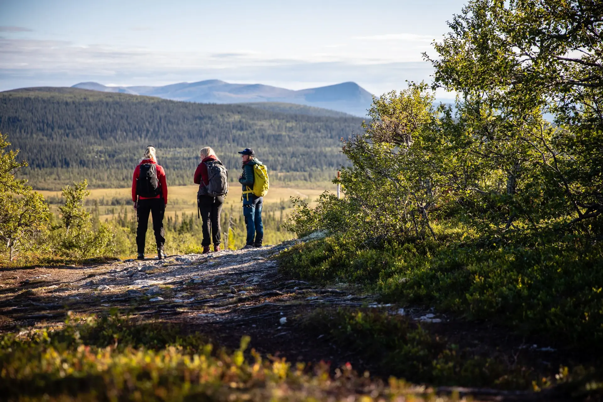
funäsfjällen: kariknallsrundan
- Length: 7 km roundtrip
- Elevation: 266 m
- Start: Rockvallen in Bruksvallarna

The highlight of the tour is the famous waffles at Knallen’s waffle hut, as well as views of the mountains and the village from an altitude of 1,050 meters. The path up to Kariknallen is lined with grass bogs, mountain flowers and a babbling brook.
A nice and easy hike with locally famous waffles as a good motivation. You hike past mountain birch forests and beautiful grass bogs with lots of mountain flowers and a brook. Soon you reach an undulating bare mountain plateau in the wide mountain landscape. Help nature by following the wide trail that rounds the knallen up to Kariknallen’s waffle hut. When visitors previously hurried up the last steep slope, wear on the ground has led to erosion, now nature needs peace to heal its wounds.
The waffle hut is located at an altitude of over a thousand meters with wonderful views of the village and the surrounding mountains such as Svalåkläppen, Stor-Skarven, Skenörsfjället and closest to Kariknallarna and Beritkläppen.
Take the trail north below Beritkläppen and then turn sharply right on the path that takes you back to the Rockvall parking lot via Fjällbäcken’s restaurant, also a perfect watering hole for hungry hikers. Don’t miss: Walking up the surrounding peaks is easy and provides rewarding panoramic views.
pilgrim Route: Romboleden in härjedalen
- Length: 250 km oneway
- Elevation: ?
- Start: Korskälla in Lillhärdal
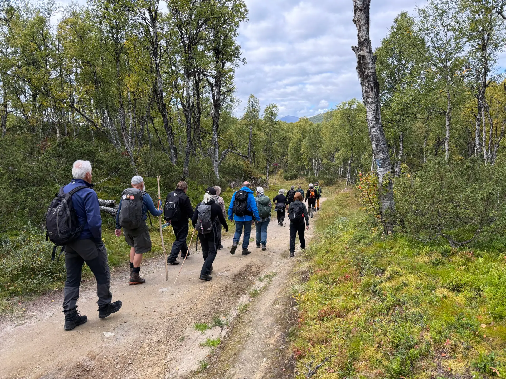
Romboleden is Sweden’s longest pilgrim trail, with roots stretching back to the 11th century. This historic route begins in Köping and winds through the Swedish landscape all the way to Trondheim in Norway—a journey through both time and nature. Along the way, you are treated to magnificent views, cultural heritage, and stories from Sweden’s history. It is a hike for both body and soul, and a chance to slow down, reflect, and experience the tranquil rhythm of the walk.
The Romboleden trail has recently undergone extensive refurbishment. New signposts and clear markers have been installed from Munktorp/Köping all the way to Ramundberget in the Funäsfjällen mountains. Information boards have also been updated at all trailheads and at selected locations along the entire Swedish section.
In Härjedalen, you can break your hike into shorter stages—ranging from 8.5 km to 35 km—if you prefer not to walk the entire distance. You are treated to a magnificent combination of open mountain terrain, forest trails, and a sense of history as you follow medieval footsteps toward the grave of St Olav. The trail across the mountain requires experience and proper equipment. Also, please be considerate of reindeer herding activities.
Berg Municipality: Fettjeåfallet in Klövsjö
- Length: 3,5 km roundtrip
- Elevation: 160 m
- Start: P-plats 5 km North Klövsjö skidområde
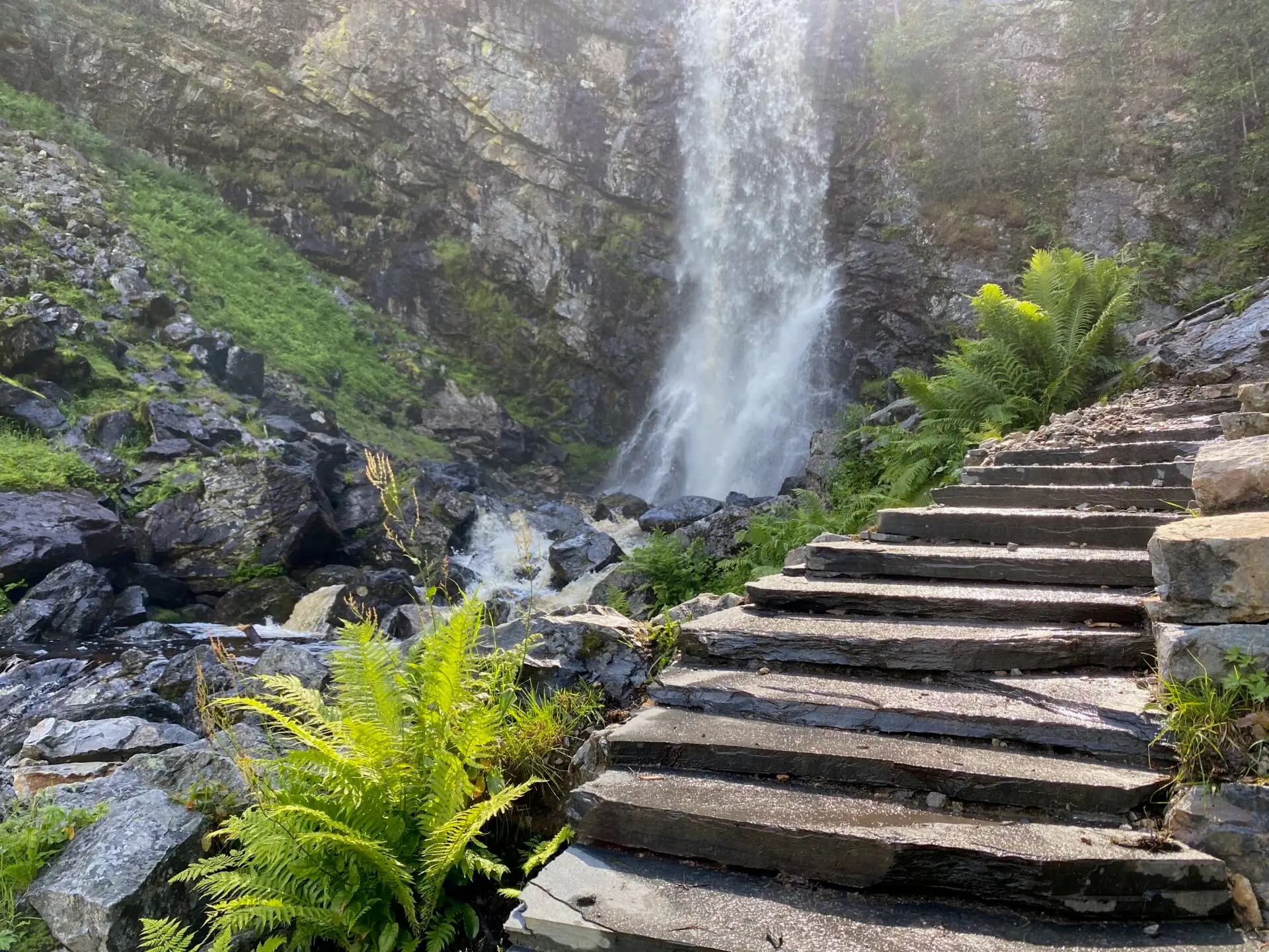
With a vertical drop of 60 meters, Fettjeåfallet is one of the country’s highest waterfalls and offers some of the area’s most beautiful scenery. The hike there along the Fettjeån stream is a wonderful experience for the whole family.
The hike begins at the parking lot located 5 km north of the Klövsjö ski area (signposted from the ski area). The trail is part of the Vemdalen destination’s network of hiking paths.
From the parking lot, head toward the wind shelter and follow the path upstream along the Fettjeån stream (the stream is not visible at the start). After about 500 meters, you will find a bench by the water. In recent years, the trail has been upgraded and paved with stone by Nepalese Sherpas. You cross the stream twice.
After 2 km, you reach the magnificent waterfall and a rest area with a barbecue spot. You can continue past the rest area to the base of the falls before returning along the same path. This is a popular and frequently visited excursion spot.
Åre: The western trail to the summit of Åreskutan
- Length: 7,6 km oneway
- Elevation: 885 m
- Start: Åre square
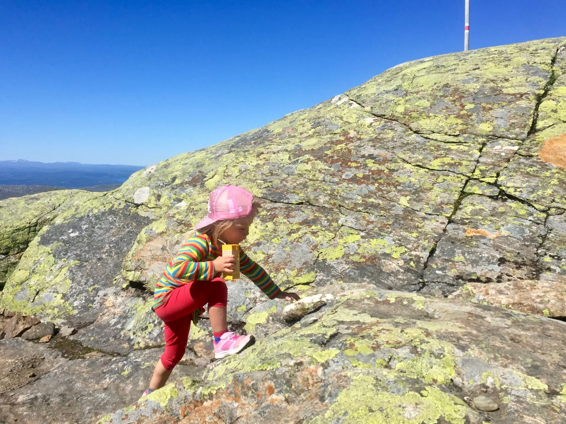
The Western Trail (trail 214) to the summit of Åreskutan is a classic hike starting from Åre Square and leading to the peak. The trail is approximately 7.6 km long, rated as red, and is suitable for those seeking a longer, more demanding hike in Åre.
The route passes Fjällgården and continues along the historic Stjärnvägen trail. Higher up the mountain, the terrain becomes more technical, featuring boulders and rocky sections that require good balance, sure-footedness, and footwear with good grip.
This is a trail where you can start at various points and hike different sections, as well as use the lift or the Åre bergbana to cover parts of the route.
From Åre Square up to Fjällgården, you follow Trollstigen—a trail that is fun for children. You hike through the forest along the Mörviksån and Susabäcken streams, with little details to discover along the way. Look closely around you—you might just spot figures, mythical creatures, and other traces of the fairytale world of Trollstigen.
Krokom municipality: Hasslingsåleden in Valsjöbyn
- Length: 0,3 km, 6 km, 8,4 km
- Elevation: 289 m (8,4 km)
- Start: Parking Hasslingsåfallet
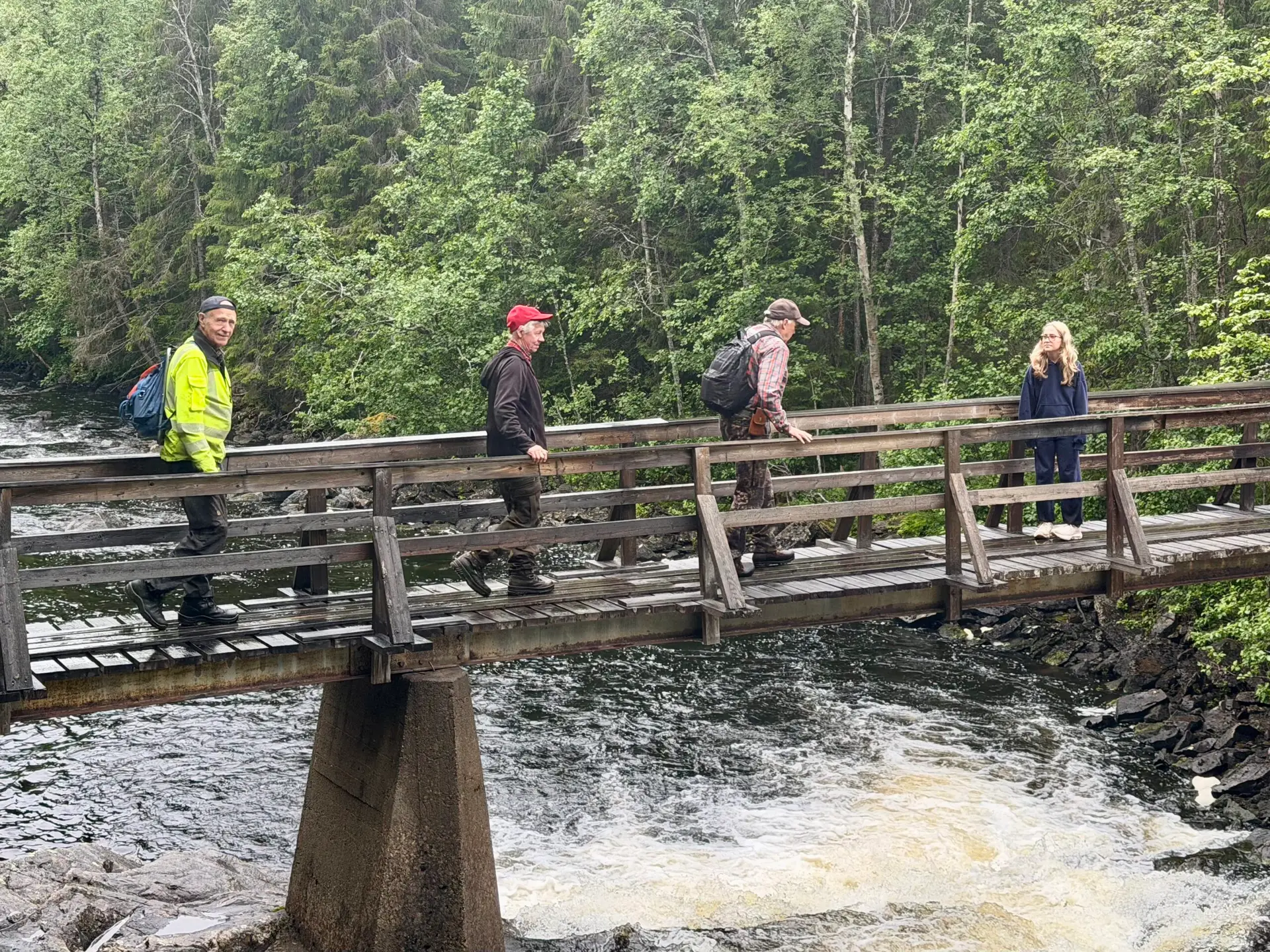
Visit Hasslingsåfallet during spring and summer. In spring, when the falls are powerful, with large splashing masses of water, they cascade down. During the summer, you hike to a water that meanders down over the rocks.
Next to the waterfall there are several barbecue areas and a little upstream from the falls a rest cabin and a nature trail with a lookout tower on top. Hike the trail from the falls, down through fine primeval forest with 250-year-old pine trees and a rich flora. If you choose to hike up to Strömhöjden, you will encounter the lookout tower, which offers an incredible view of forests, lakes and mountains.
You will encounter nature as it looked when the Stone Age hunters lived here, when the Sami began to use the Hotagen lands, when the settlers arrived! A hike to the original!
You can choose to either walk up to the falls (adapted for the disabled) 0.3 km, a stage of 6 km or the entire loop past the lookout tower of 8.4 km).
A nice hike for the whole family.
Åre & Berg municipality: Storfalletleden in Höglekardalen
- Length: 3,9 km or 3,4 km oneway
- Elevation: 130 m
- Start: Höglekardalen or Hovde
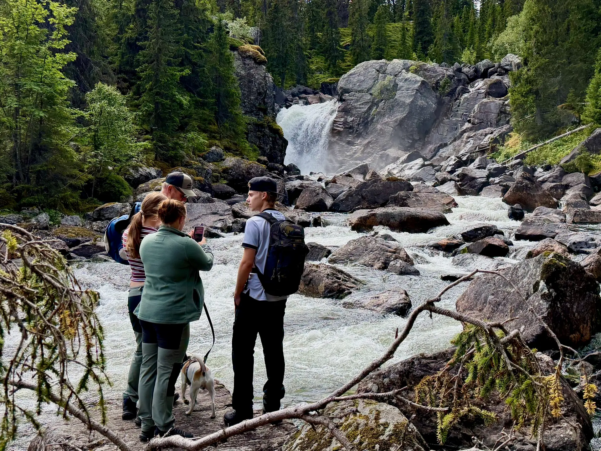
From Höglekardalen, the hiking trail to Storfallet runs upstream along the Storån River. Soon you will pass a suspension bridge over the river. Stop and look for the large trout that thrive in the cold water. The water of the Storån River is clear so it is no problem to see the fish from the bridge. The terrain is adventurous and creates a natural obstacle course that is fun for both big and small feet. You can also start in Hovde and then the trail is flatter and a little shorter.
Along the trail, nature shows clear traces of the ice age with many large rock sections thrown in between the sometimes thick coniferous forest, sometimes thin deciduous forest. On a hill just before the last part down towards the falls there is a wind shelter and a barbecue area. You then walk down to the falls on steep, winding stairs. Be careful not to slip as the stairs can be slippery in wet weather.
Don’t miss looking for the beavers running along the river! The animals’ sharp teeth have left clear marks on the fallen tree trunks, making it easy to see when they have been there.
Strömsunds municipality: fågelvägen in Strömsund
- Length: 7 km oneway
- Elevation: 50 m
- Start: Strömsunds camping

Welcome to a 7 kilometer easy hike, boardwalk hiking trail between Strömsunds camping and Tullingsås bird lake and tower. Along the way there are signs describing the different habitat types. The trail partly goes through a nature reserve.
Here there are habitat types such as bog, birch swamp forest, dense spruce forest, lake shore and overgrown pasture. The many different habitat types mean that the area is rich in birds and plants. Along the trail there are information signs about the surroundings you are walking through. The trail partly goes through the Per Johansabodarna nature reserve.
The entire route takes about two to four hours to hike, but it is great to divide it into shorter stages – two of them we have marked on the map, but you can also find your own trails! We recommend that you have sturdy shoes and a backpack with snacks, camera and binoculars.
During the hike you may see animals such as moose, deer, hare, beaver or
bear tracks. More unusual is seeing the shy bear.