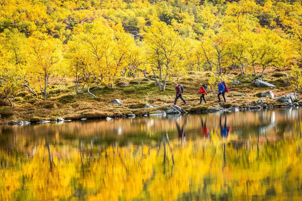
The Best Hiking Routes in Jämtland Härjedalen
Adventure Sweden guides you to ten of the best hiking routes in Jämtland Härjedalen – pack your rucksack, tighten your laces and head out in the nature!
S:t Olavsleden – To Contemplate and Become Your Better Self
Be a modern pilgrim and hike parts of the pilgrim path whenever you have the time. Or go all the way at once, spending about a month walking all the way between Sundsvall on the Swedish east coast to the western coastline at Trondheim, Norway (564 km) in one go. We promise you there will be plenty of time to contemplate!
Start in Sundsvall (3,5 hours by train north of Stockholm) and follow the trail to Bräcke – Östersund – Krokom – Åre and end up in Trondheim, Norway. Everything you need to know is found here stolavsleden.com
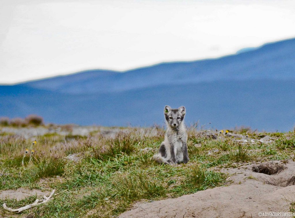
Mittåkläppen – For the View
The road leading to the hike is an adventure in itself, but do continue up to the shieling/summer pasture, Djupdalsvallen (private road from Bruksvallarna where you pay a road fee). Choose between the easy or the steeper hike up to the top 1212 m. a. s. l of the iconic mountain Mittåkläppen. This is also called “Guldtur 7b” and it is one of the Golden hikes of Destination Funäsfjällen, in the south west of Jämtland Härjedalen, Adventure Sweden. Funäsfjällen is about 7 hours by car north of Stockholm and 3 hours south of Östersund.
Fettjeåfallet – One of Sweden´s Highest Waterfalls
Glittering and alluring, a 60 meter high waterfall 2 km from the parking lot not far from Klövsjö Ski Area. The waterfall is perfect for a refreshing hike on a hot summer day as the trail leads into the forest and up the stone stairs (made by Sherpas from Nepal!) up to the alluring waterfall. There are four more waterfalls around Destination Vemdalen about 1,5 hours by car from Östersund.
Åreskutan – Accessible High Fell Terrain
Take the cable car up on mount Åreskutan and walk the last 800 meters up to Sweden´s highest situated café 1.420 m. a. s. l. One of the walkways from the top is made accessible to enable good views for more people. There are more hiking routes all around the Mountain Resort Åre, 7 hours by train from Stockholm (night train available).
Jämtland Triangle – The Beginners Fell Hike
Walk with a light pack along the classic hiking route between the mountain stations of Storulvån, Blåhammaren and Sylarna (managed by Svenska Turistföreningen / the Swedish Tourist Association). The hike takes three days and you do not need to bring food or sleeping bag if you don´t want to. There is even the possibility to sit by a set table at these three mountain stations with culinary highlights from the region. The Jämtland Triangle is a popular route so you need to book your stay well in advance. The starting point, Storulvån mountain station is 8,5 hours by train to Enafors railway station and an additional transfer with bus of about 20 min from the railway station to the mountain station. Read our adventure on the Jämtland Triangle »
Rogen – A Completely Different World
The Rogen morane with long winding ridges and long lakes is a fascinating landscape for hiking and paddling. Svenska Turistföreningen (the Swedish Tourist Association) keep overnight cabins in the area for your comfort. You can walk a roundtrip for three days or walk straight to the lake Rogen and stay there for day hikes. Start at Käringsjön, Tännäs, in Destination Funäsfjällen, 7,5 hours by car north of Stockholm. Read our adventure on Rogen »
Frostviksfjällen – When you Want to be Alone
There are few marked trails in the Frostviksfjällen mountains. Go where your heart desires from the Wilderness road (Vildmarksvägen) over the plateau Stekenjokk or start by the sami church village in Ankarede and follow the marked trail towards the waterfall Lejarfallet. Start your journey along the Wilderness road in Strömsund, some 1,5 hours by car from Östersund.
Andersön – An Exotic Island Full of Stories
Not far from the city of Östersund and yet exotic with its trees shaped by hard winds sweeping in from lake Storsjön. You can find lots of traces from settlements dating back to the stone age if you look closely. There once where efforts to build a fortress to protect the region from invading Norwegians on this island, prehistoric graves and there are stories of violent battles fought on the ice just outside the island. There are marked trails all over this nature reserve and there are set places for you to have a bbq with friends along the shores. Make sure you leave nothing but foot prints! More about Andersön »
Helags – Sweden´s Southernmost Glacier
National Geographic recommends this hike too. The hike 12 km up to the cosy mountain station (managed by Svenska Turistföreningen / the Swedish Tourist Association) is easy. Relax by the fire and enjoy a hearty meal to prepare for the 2 km climb up to the summit 1.796 m. a. s. l. the next day. Or do a day long roundtrip along the summit edge of the mountain looking down on the southern most glacier of Sweden. From Helags you can hike further into the fells of Jämtland Härjedalen or return back to Ljungdalen, 2,5 hours by car south west of Östersund. Read our adventure on Helags »